
6/27/26
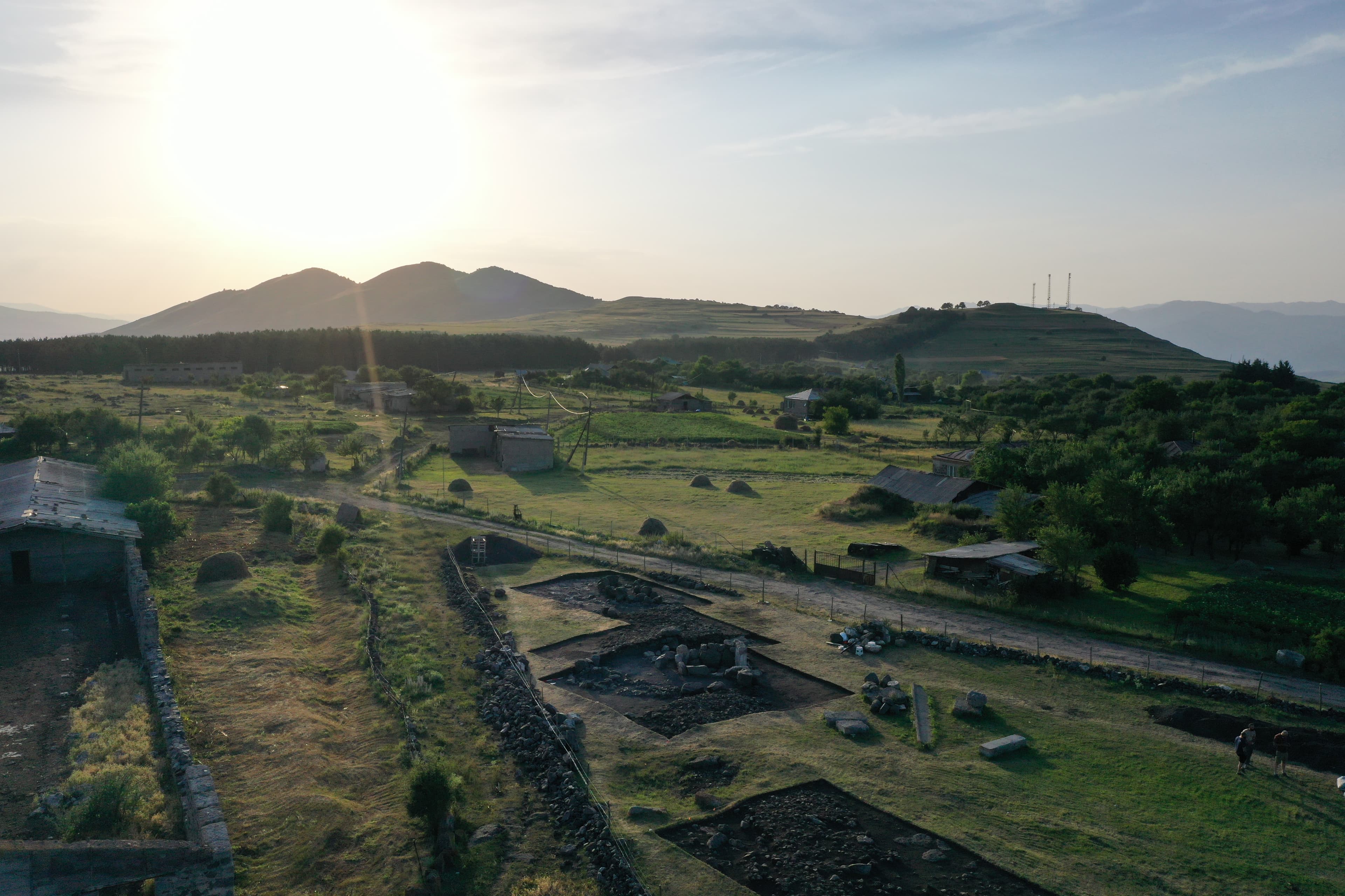
2026 Excavations Has Recently Began
6/27/26
6/27/26
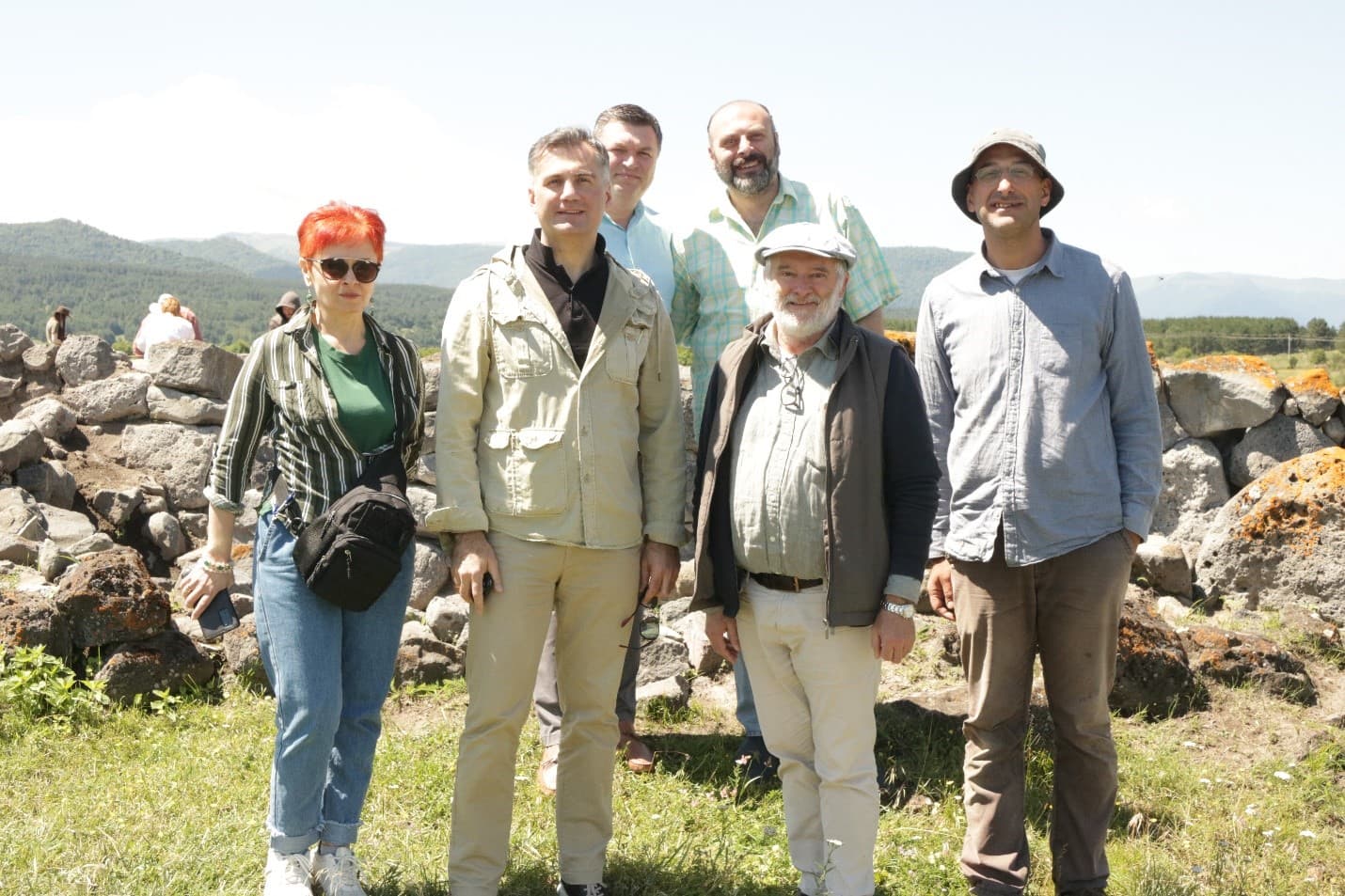
rabaTis gaTxrebi
dgdgdgdgdggdd
6/27/26
4/15/26
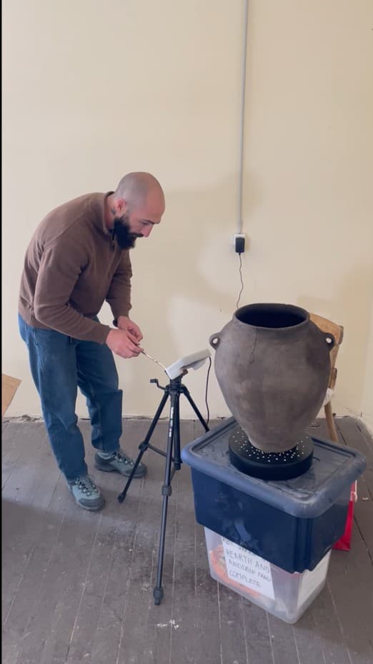
3D Scanning of Artifacts
The 3D scanning of ceramic vessels discovered at the Rabati settlement enables the creation of accurate digital models without causing any damage to the artifacts. This allows for a detailed examination of the vessels’ morphology, decoration, and manufacturing techniques. The application of this method facilitates the long-term preservation of data, its dissemination within the international […]
4/15/26
4/2/26
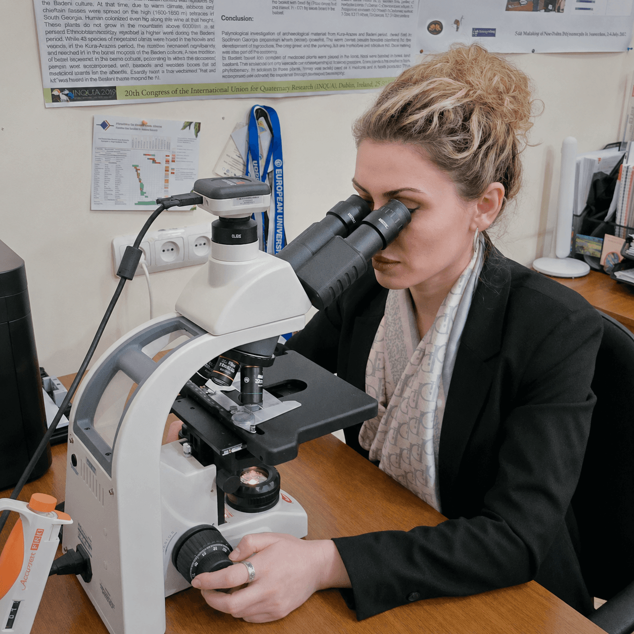
Palynological research
One of the important components of the investigation of the Rabati settlement is its palynological analysis. This research focuses on microscopic pollen grains and other organic particles preserved on artifacts recovered during excavations or embedded in building floors. The examination of these very tiny remains under a microscope helps archaeologists reconstruct past environments, vegetation, and […]
4/2/26
ArchaeologyDr. David Brown
3/25/26
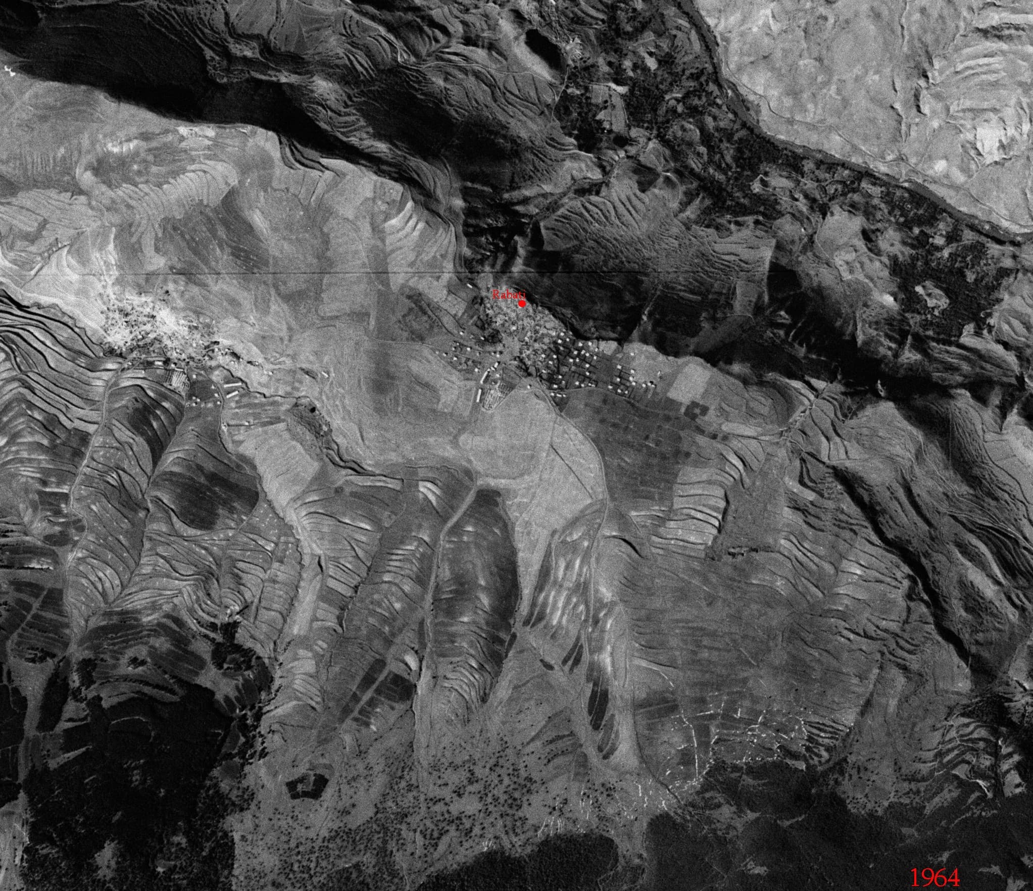
Historic Secret Military Aerial Photographs Help Identify Archaeological Features
The secret American military aerial photographs taken in 1964 as part of the CORONA program, comparable Soviet military aerial imagery from 1973, and the earliest available Google Earth data from 2003 provide a unique opportunity to determine how the archaeological landscape of the village of Zveli has changed over the past century as a result […]
3/25/26